
FAA Part 107
Commercial Drone Inspections in San Diego, CA
Aerial and thermal imaging of roofs, facades and large sites where access is limited or unsafe.
U.S. Commercial Building Inspections flies FAA Part 107 drone missions across San Diego County and Southern California to document the parts of a commercial building that nobody can safely reach on foot. Aerial imagery is not a gimmick on our reports — it is how we photograph steep or fragile roofs, tall facades, parapets and rooftop equipment without putting an inspector on a ladder or a lift.
When a drone is the right tool
- Roofs that cannot be walked safely: aged built-up, ballasted single-ply, standing-seam metal, brittle skylights, or spans with no permanent access.
- Large industrial and warehouse roofs where a full walk would take a day and still miss field conditions between penetrations.
- High-rise and mid-rise facades, window walls, balconies and signage that would otherwise need swing-stage or boom access.
- Post-storm and post-leak documentation, where owners and carriers need dated photos quickly.
- Large sites, portfolios and vacant land where an overall site plan view supports the written report.
What we capture
- Roof membrane, seams, laps and surfacing condition, with close-ups of failures.
- Flashings, parapets, copings, counterflashing and wall terminations.
- Drains, scuppers, gutters, crickets and standing-water areas.
- Penetrations, curbs, skylights, hatches and rooftop mechanical equipment.
- Facades, cladding, sealant joints, window systems and exterior stairs or balconies.
- Infrared thermal scans that reveal trapped moisture in the roof assembly and hidden wet insulation.
Why owners and managers use aerial inspection
Three reasons come up on nearly every engagement. Safety: no one has to climb a compromised roof or hang off a facade to answer a question. Speed: an aerial sweep of a 200,000 square foot roof takes a fraction of the time a full walk does, so scheduling and fees stay reasonable. Evidence: you end up with a dated, geo-referenced photo and video record you can hand to a lender, an insurer, a roofing contractor or a board, instead of a written description alone.
That record also has a long life. Owners use our aerial sets to bid repairs accurately, to defend against inflated scopes, to track a roof year over year, and to support insurance claims where the pre-loss condition matters.
Thermal imaging for trapped moisture
Infrared scanning works because wet insulation holds heat longer than dry insulation. Flown at the right time of day — typically after sunset, once the roof has been loaded by the sun and is releasing heat — saturated areas show up as warm anomalies. We mark those areas on a roof plan so a repair crew can cut test squares in the right places rather than guessing, and so a capital plan can distinguish a spot repair from a full tear-off.
Deliverables and turnaround
- Annotated aerial stills of every elevation and roof section, keyed to a roof or site plan.
- Video passes of the roof field and facades where useful.
- Thermal imagery with suspected moisture areas identified, when a scan is included.
- Written findings with severity, likely cause and recommended action — delivered on its own or folded into a roof inspection or Property Condition Assessment.
- Typical report delivery is 1–3 days after the site visit.
FAA Part 107 and San Diego airspace
All flights are conducted by a Part 107 certificated remote pilot with insurance in place. Much of the San Diego region sits under controlled airspace — Class B around San Diego International, plus the Class D and restricted airspace around Miramar, North Island, Gillespie, Montgomery, Palomar and Brown Field. Where a property falls inside controlled airspace, we obtain LAANC or manual authorization before the mission and adjust altitude ceilings accordingly. If a site cannot be flown at all, we say so up front and price a conventional access method instead.
Service area
We fly commercial drone inspections throughout San Diego County and across Orange, Los Angeles, Riverside and San Bernardino counties. Aerial work is most often ordered alongside a commercial roof inspection or a Property Condition Assessment, and standalone thermal scans are available through our infrared thermal imaging service.
Send the address, roof size and what you need documented and we will come back with scope, flight plan and fee — usually the same business day. Call 619-473-2133.
Preparing for the 2026–27 El Niño winter? See our roof thermal imaging and moisture mapping inspections.
Related
Other commercial inspection services

Property Condition Assessment
Lender-ready PCA reports for acquisitions, refinancing and portfolio reviews, with immediate repair and capital reserve tables.
View scope
Phase 1 Environmental Site Assessment
Environmental site assessments that surface recognized environmental conditions before liability transfers to you.
View scope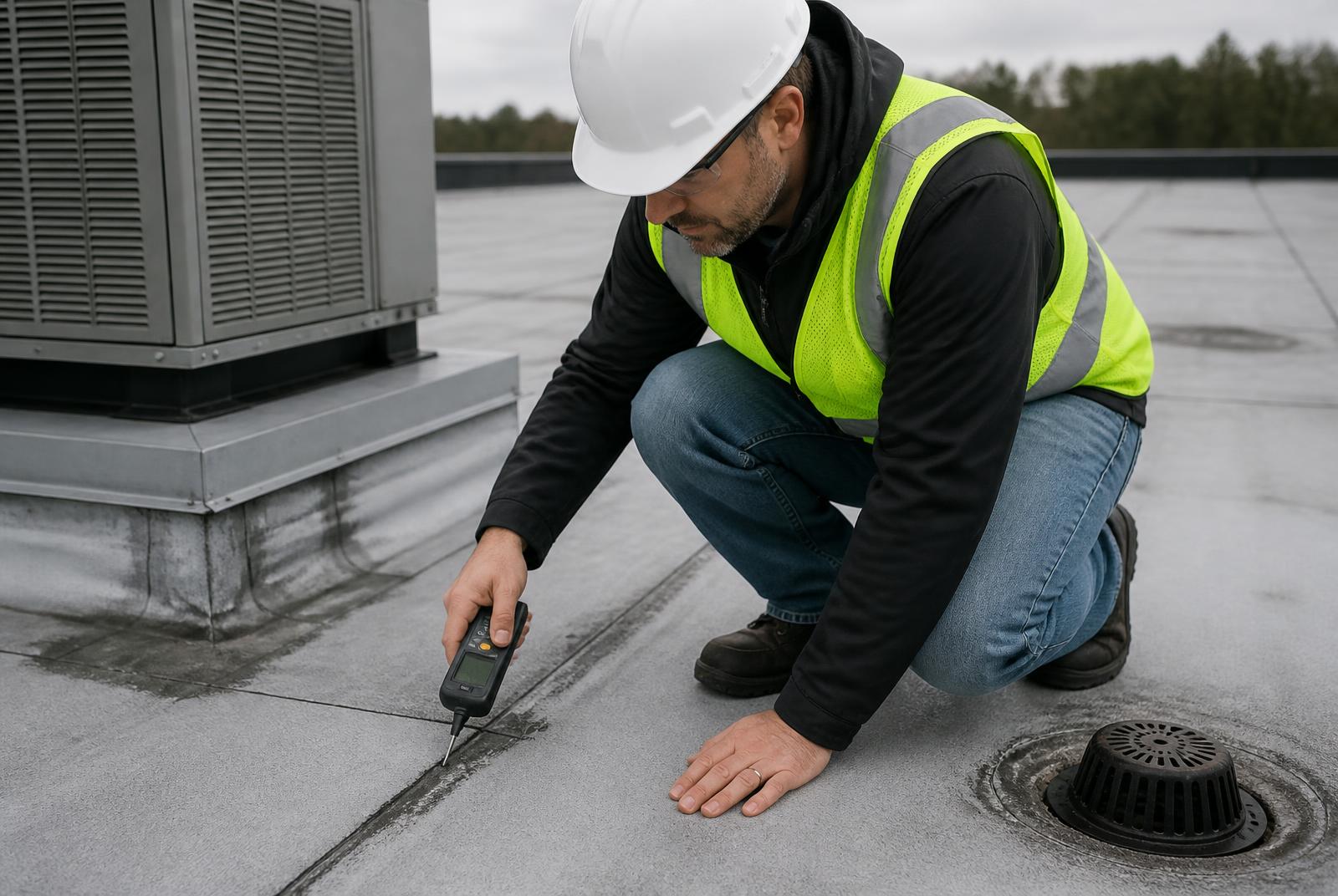
Roof Inspections
Membrane, flashing, drainage and penetration evaluation with moisture readings and remaining-life estimates.
View scopeRequest a quote
Request a drone inspections quote
Send the address, asset type and approximate square footage. We reply with scope and fee, usually the same business day.
619-473-2133
Mon–Fri 7:00am–6:00pm